< >

Important Notice: Transition to FlySask3


After more than a decade of service to Saskatchewan's geospatial community, FlySask2 will be retired on September 30, 2026, and replaced by FlySask3 (web.flysask3.ca).


Member organizations will receive FlySask3 access credentials and onboarding information in the coming weeks. Public users will continue to have access to the platform at no cost through FlySask3.


We appreciate your continued support and look forward to providing an enhanced user experience through the new platform.


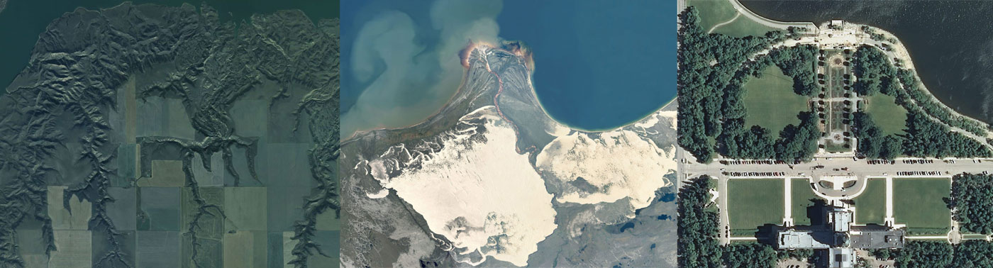
Accessing SGIC Satellite or AirPhoto Imagery

SGIC Imagery is available to the public under the account guest/guest. Additional high-resolution data is available to SGIC members through their assigned account.