New Ortho Imagery Available

Good afternoon FlySask members,

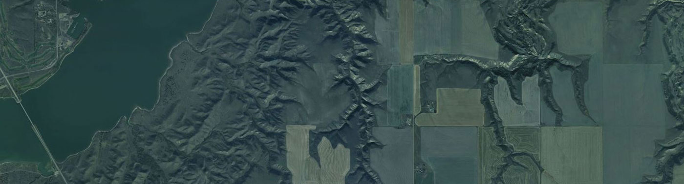
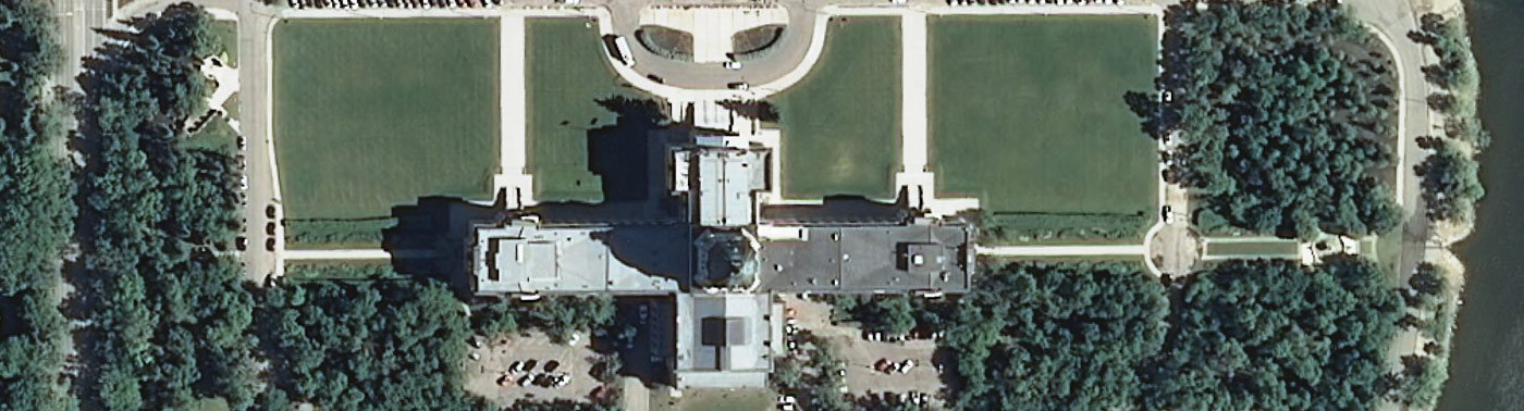
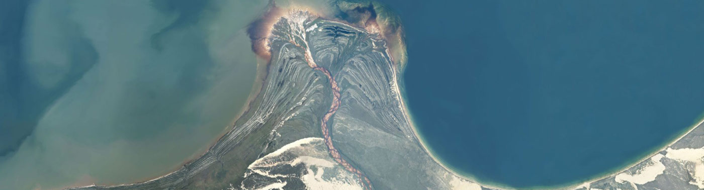
The “Ortho Images” and “Ortho Images 2012-2016” layers have been updated with new data.

– Acquisition in 2014 with a resolution of 50cm
– Acquisition in 2015 with a resolution of 50cm

This data represents 994 new images totaling 1,259 GB.

Thank You,

August 2015 Site Updates

Good afternoon SGIC members,

There have been several updates to the imagery services hosted on Flysask2.ca:

1. Two new data sets have been created by duplicating and splitting the Ortho Images layer into two layers according to the dates of the two collection programs:

Ortho Images 2008-2011
Ortho Images 2012-2016

The original, combined Ortho Images layer remains online as well and will continue to serve as a “best available data” layer.

2. New imagery is available in southern Saskatchewan. The data was collected by Sanborn in 2014 and is 0.5 meter resolution. 387 files which representing 600 GB of new imagery has been made available through both the new Ortho Images 2012-2016 layer and the combined Ortho Images layer.

Thank you.

CubeWerx signs 3-year contract to provide managed imagery services to SGIC

Gatineau, QC, Canada, April 14 2015 – CubeWerx signs 3-year contract to provide managed imagery services to the Saskatchewan Geospatial Imagery Collaborative

CubeWerx has signed a 3-year contract with the Saskatchewan Geospatial Imagery Collaborative (SGIC) to provide imagery hosting and managed Web services to the collaborative’s many member organizations across the province and in the federal government.

The contract, signed following an extensive evaluation of CubeWerx flagship OpenImageMap platform, represents the second generation of the SGIC’s FlySask system, which provides their members with access to high-quality aerial and satellite imagery, via direct download, and through Open Geospatial Consortium (OGC) web services. In addition to the OpenImageMap software platform, the contract includes a new website and client portal for SGIC members and the general public to access the collaborative’s data.

The new system, FlySask2, represents a major enhancement to the program in both performance and scalability. It will allow the collaborative to expand its offerings to members while maintaining excellent standards of service.

“This new contract with CubeWerx is incredibly important as it will change the system to make it bigger, stronger, faster and ultimately more user-friendly for SGIC’s members and the general public,” said Ian Radchenko, SGIC Project Manager and Research Scientist at the Saskatchewan Research Council. “The old system had great performance and served the SGIC well but it is time for an upgrade after 8 years of operation and our hope is to see large usage increases with this new system.”

“This agreement is a major milestone in our relationship with the SGIC and further enhances our role as a strategic business partner”, said Edric Keighan, President and CEO of CubeWerx. “We will deploy the best capabilities available in order to help the collaborative achieve its goals and provide its members with the products and services they depend on.”

About CubeWerx

CubeWerx is a geospatial products and services company based in Gatineau, QC, Canada. Founded in 1996, CubeWerx develops open standards-based solutions in response to Spatial Data Infrastructure (SDI) requirements for interoperable information infrastructures. CubeWerx is an innovative software company whose expertise includes development and deployment of Web Services products and Cloud-based services to support the most demanding requirements for the integration, access, and management of very large volumes of geospatial data over the web. CubeWerx technology has helped industries and governments around the world build best-of-breed SDIs composed of users and providers of geospatial data and services, based on the most up-to-date Open Geospatial Consortium (OGC) standards.  More information on CubeWerx products and services is available at www.cubewerx.com.

About SGIC

The Saskatchewan Geospatial Imagery Collaborative (SGIC) is a partnership of organizations sharing knowledge and costs relating to acquisition and use of remotely sensed satellite and aerial photographic imagery for mutual and public benefit. For more information about the collaborative, or to inquire about membership, contact the program coordinator, Ian Radchenko at radchenko@src.sk.ca

3,398 new urban area images available

Good Mornings FlySask Members!

There is a new map layer available on the FlySask2 service called “Pictometry 2013-2014”. This layer includes high-resolution (25cm to 7.5cm) imagery in the following areas:

  • Martensville/Warman 2013 (10cm single dataset)
  • Regina 2014 (7.5cm single dataset)
  • Moose Jaw 2014 (10cm single dataset)
  • Nipawin 2014 (10cm/25cm no overlap datasets)
  • Prince Albert 2014 (20/25cm no overlap datasets)
  • Saskatoon 2013 (7.5/10cm partial overlap datasets)
  • Yorkton 2013 (10/25cm no overlap datasets)

This data represents an additional 3,398 images (530 GB) to the FlySask2 GeoPortal.

About the Collaborative

The Saskatchewan Geospatial Imagery Collaborative (SGIC) is a partnership of organizations sharing knowledge and costs relating to acquisition and use of satellite and aerial imagery for mutual and public benefit.

SGIC provides free public viewing access to its basic imagery sets through a Public Web Mapping Client and an OGC-Standard Web Map Service (WMS and WMTS). SGIC members receive access to additional functions and high-resolution imagery for view and download through the Members-Only access point.